Many construction teams in Leeds start foundation design without understanding the local resonance behaviour of the ground. They rely solely on boreholes, which miss the dynamic response that matters most during an earthquake or heavy vibration. An HVSR microtremor survey captures the natural frequency of the soil column directly. This passive seismic method uses ambient vibrations—traffic, wind, industrial activity—to identify the fundamental frequency of the site. When that frequency aligns with the building's expected response, the risk of resonance increases significantly. In Leeds, where much of the city is underlain by Coal Measures and glacial till over sandstone bedrock, ignoring this parameter can lead to costly design changes later. Combining the HVSR microtremor survey with a MASW Vs30 profile gives a more complete picture of shear-wave velocity layering. It is a quick, non-invasive first step that should precede any detailed invasive investigation.
A single HVSR microtremor measurement can reveal bedrock depth to within 10% accuracy compared to a borehole, at a fraction of the cost.
Scope of work in Leeds
- Fundamental resonance frequency (f0) in Hz
- Amplification factor at that frequency
- Estimated bedrock depth using the quarter-wavelength approximation
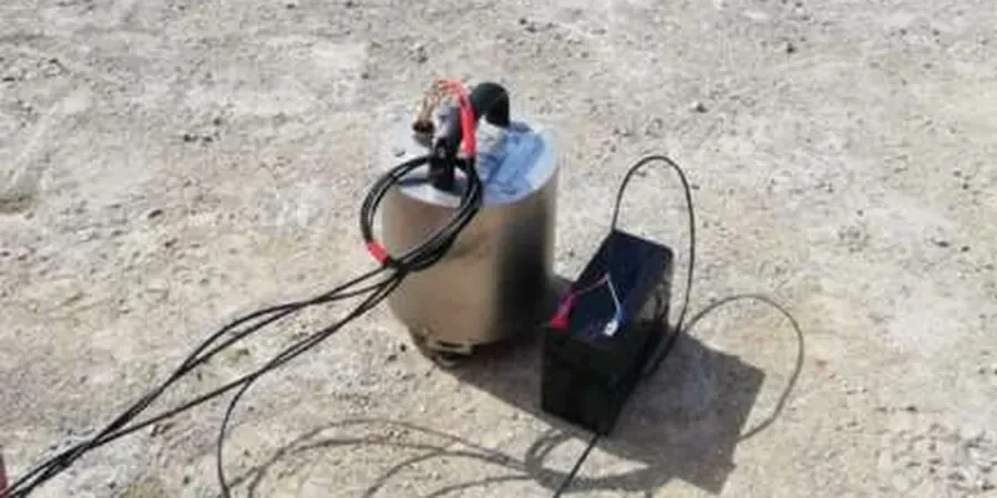
Procedure video
Critical ground factors in Leeds
A contractor working on a residential development in the Woodhouse area of Leeds once assumed uniform ground conditions based on a single borehole near the entrance. The HVSR microtremor survey later revealed that the site's natural frequency shifted from 3.5 Hz at the south end to 8.2 Hz at the north end, indicating a rapid change in bedrock depth. The difference meant that two different foundation types were needed on the same plot. Without the survey, the building would have experienced differential settlement and potential resonance during a seismic event. In Leeds, where the legacy of mining and variable glacial deposits creates abrupt soil transitions, the HVSR microtremor survey is a safety net that prevents these surprises.
This service complements our laboratory testing work for a complete project analysis.
Our services
We offer a complete HVSR microtremor survey service in Leeds, from field acquisition to interpretation and reporting.
Single-station HVSR measurement
Rapid deployment of a three-component seismometer at any location in Leeds. Data processed on-site for immediate f0 frequency and H/V ratio.
Multi-point array mapping
Grid-based surveys covering large sites or linear infrastructure corridors. Interpolated bedrock depth maps and site period zoning for development planning.
Integrated geophysical interpretation
Combined HVSR microtremor survey with MASW or ERT for a multi-method ground model. Delivered as a geotechnical interpretative report with cross-sections.
FAQ
What is the difference between HVSR and MASW for site characterisation in Leeds?
HVSR measures the horizontal-to-vertical spectral ratio of ambient noise to find the fundamental resonance frequency and estimate bedrock depth. MASW actively generates surface waves to produce a shear-wave velocity (Vs) profile with depth. HVSR is faster and cheaper for screening large areas; MASW gives a layered Vs model. In Leeds, they are often combined: HVSR first for spatial variability, then MASW at critical points for detailed Vs30.
How much does an HVSR microtremor survey cost in Leeds?
A typical single-station HVSR measurement in Leeds costs between £1,020 and £2,220 depending on access, number of stations, and reporting detail. Multi-point surveys reduce the per-point cost. The price includes field acquisition, SESAME-compliant processing, and a summary report with frequency and depth estimates.
Can HVSR detect shallow mine workings common in the Leeds area?
HVSR is not a direct void-detection method. It identifies the soil-bedrock resonance, not cavities. If a shallow mine working creates a local velocity inversion or a change in the resonant frequency pattern, the anomaly may be visible in the H/V curve. However, for direct mine void detection, we recommend combining HVSR with microgravity or GPR. HVSR is best for mapping the bedrock surface and assessing site period.